Applied Physical Geography: Geosystems in the Laboratory, 10th Edition Solution Manual
Applied Physical Geography: Geosystems in the Laboratory, 10th Edition Solution Manual makes textbook problem-solving easy with a comprehensive guide that explains every step.
Jack Murphy
Contributor
4.0
32
3 days ago
Preview (16 of 169)
Sign in to access the full document!
Lab Exercise 1: Latitude and Longitude 1
Scan to view the
Pre-Lab video
Name: Laboratory Section:
Date: Score/Grade:
1 LAB EXERCISE
Latitude and Longitude
Video
http://goo.gl/pQk8vC
Exercise 1
Pre-Lab Video
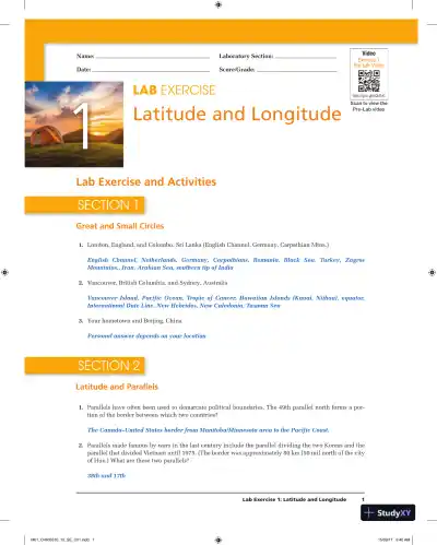
1. London, England, and Colombo, Sri Lanka (English Channel, Germany, Carpathian Mtns.)
English Channel, Netherlands, Germany, Carpathians, Romania, Black Sea, Turkey, Zagros
Mountains., Iran, Arabian Sea, southern tip of India
2. Vancouver, British Columbia, and Sydney, Australia
Vancouver Island, Pacific Ocean, Tropic of Cancer, Hawaiian Islands (Kauai, Niihau), equator,
International Date Line, New Hebrides, New Caledonia, Tasman Sea
3. Your hometown and Beijing, China
Personal answer depends on your location
Lab Exercise and Activities
Great and Small Circles
SECTION 1
1. Parallels have often been used to demarcate political boundaries. The 49th parallel north forms a por-
tion of the border between which two countries?
The Canada–United States border from Manitoba/Minnesota area to the Pacific Coast.
2. Parallels made famous by wars in the last century include the parallel dividing the two Koreas and the
parallel that divided Vietnam until 1975. (The border was approximately 80 km [50 mi] north of the city
of Hue.) What are these two parallels?
38th and 17th
Latitude and Parallels
SECTION 2
Loading page 6...
Loading page 7...
Loading page 8...
Loading page 9...
Loading page 10...
Loading page 11...
Loading page 12...
Loading page 13...
Loading page 14...
Loading page 15...
Loading page 16...
15 more pages available. Scroll down to load them.
Preview Mode
Sign in to access the full document!
100%
Study Now!
XY-Copilot AI
Unlimited Access
Secure Payment
Instant Access
24/7 Support
Document Chat
Document Details
Subject
Earth Science