World Regional Geography without Subregions: Global Patterns, Local Lives Sixth Edition Solution Manual
World Regional Geography without Subregions: Global Patterns, Local Lives Sixth Edition Solution Manual gives you the answers you need, explained in a simple and clear way.
Sarah Anderson
Contributor
4.6
39
7 months ago
Preview (31 of 571)
Sign in to access the full document!
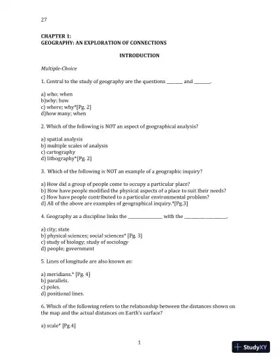
27
1
CHAPTER 1:
GEOGRAPHY: AN EXPLORATION OF CONNECTIONS
INTRODUCTION
Multiple-Choice
1. Central to the study of geography are the questions ________ and ________.
a) who; when
b)why; how
c) where; why*[Pg. 2]
d)how many; when
2. Which of the following is NOT an aspect of geographical analysis?
a) spatial analysis
b) multiple scales of analysis
c) cartography
d) lithography*[Pg. 2]
3. Which of the following is NOT an example of a geographic inquiry?
a) How did a group of people come to occupy a particular place?
b) How have people modified the physical aspects of a place to suit their needs?
c) How have people contributed to a particular environmental problem?
d) All of the above are examples of geographical inquiry.*[Pg.3]
4. Geography as a discipline links the _________________ with the _____________________.
a) city; state
b) physical sciences; social sciences* [Pg. 3]
c) study of biology; study of sociology
d) people; government
5. Lines of longitude are also known as:
a) meridians.* [Pg. 4]
b) parallels.
c) poles.
d) positional lines.
6. Which of the following refers to the relationship between the distances shown on
the map and the actual distances on Earth’s surface?
a) scale* [Pg.4]
27
2
b) spatial analysis
c) cartography
d) regional geography
7. Which of the following terms refers to the study of how people, objects, or ideas
are, or are not, related to one another across space?
a) regional geography
b) physical geography
c) cartography
d) spatial analysis* [Pg. 2]
8. Which of the following terms refers to the making of maps?
a) scale
b) spatial analysis
c) cartography* [Pg. 2]
d) regional geography
9. The prime meridian runs from the North Pole to the South Pole through:
a) New York City, USA.
b) Berlin, Germany.
c) London, England.
d) Greenwich, England.* [Pg. 4]
10. Through which ocean does the longitude line at 180° run?
a) Atlantic
b) Pacific* [Pg. 5]
c) Indian
d) Arctic
11. The globe is divided into the Northern and Southern Hemispheres at the:
a) International Date Line.
b) equator.* [Pg. 5]
c) Tropic of Cancer.
d) Tropic of Capricorn.
12. Cartographers solve the problem of showing the spherical Earth on a flat piece of
paper by using:
a) lines of latitude.
b) projections.* [Pg. 5]
Loading page 6...
Loading page 7...
Loading page 8...
Loading page 9...
Loading page 10...
Loading page 11...
Loading page 12...
Loading page 13...
Loading page 14...
Loading page 15...
Loading page 16...
Loading page 17...
Loading page 18...
Loading page 19...
Loading page 20...
Loading page 21...
Loading page 22...
Loading page 23...
Loading page 24...
Loading page 25...
Loading page 26...
Loading page 27...
Loading page 28...
Loading page 29...
Loading page 30...
Loading page 31...
28 more pages available. Scroll down to load them.
Preview Mode
Sign in to access the full document!
100%
Study Now!
XY-Copilot AI
Unlimited Access
Secure Payment
Instant Access
24/7 Support
Document Chat
Document Details
Subject
Earth Science