2024-2025 WGU D199 Introduction to Physical and Human Geograph with Answers (203 Solved Questions)

Master your subject with 2024-2025 WGU D199 Introduction to Physical and Human Geograph with Answers, designed to simulate real exams.

Henry Martinez
Contributor
4.2
135
9 months ago
Preview (8 of 26 Pages)
100%
Purchase to unlock

Page 1

2024-2025 WGU D199 Introduction to Physical and Human Geograph with Answers (203 Solved Questions) - Page 1 preview image

Loading page image...

WGU D199IntroductiontoPhysicalandHumanGeography-D1992024/2025EXAM WITH 100%CORRECT AND VERIFIEDANSWERSimmigrantspeople moving into a geographical areaemigrantspeople moving out of a geographical areanet migrationthe difference between the number of immigrants and the number of emigrants for agiven geographical area in any given yearreturn migrationpermanent return of emigrants to their country of origintravel visasdocuments that give temporary permission to enter a countrybrain drain

Page 2

2024-2025 WGU D199 Introduction to Physical and Human Geograph with Answers (203 Solved Questions) - Page 2 preview image

Loading page image...

Page 3

2024-2025 WGU D199 Introduction to Physical and Human Geograph with Answers (203 Solved Questions) - Page 3 preview image

Loading page image...

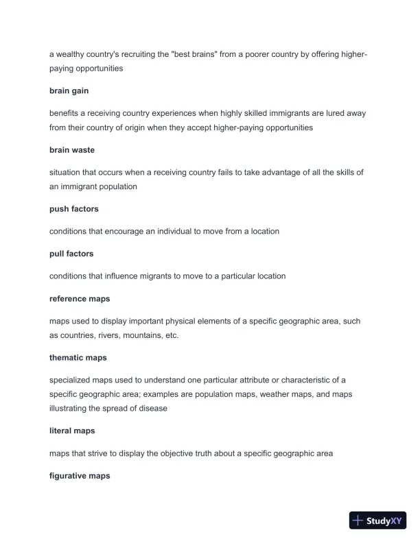
a wealthy country's recruiting the "best brains" from a poorer country by offering higher-paying opportunitiesbrain gainbenefits a receiving country experiences when highly skilled immigrants are lured awayfrom their country of origin when they accept higher-paying opportunitiesbrain wastesituation that occurs when a receiving country fails to take advantage of all the skills ofan immigrant populationpush factorsconditions that encourage an individual to move from a locationpull factorsconditions that influence migrants to move to a particular locationreference mapsmaps used to display important physical elements of a specific geographic area, suchas countries, rivers, mountains, etc.thematic mapsspecialized maps used to understand one particular attribute or characteristic of aspecific geographic area; examplesare population maps, weather maps, and mapsillustrating the spread of diseaseliteral mapsmaps that strive to display the objective truth about a specific geographic areafigurative maps

Page 4

2024-2025 WGU D199 Introduction to Physical and Human Geograph with Answers (203 Solved Questions) - Page 4 preview image

Loading page image...

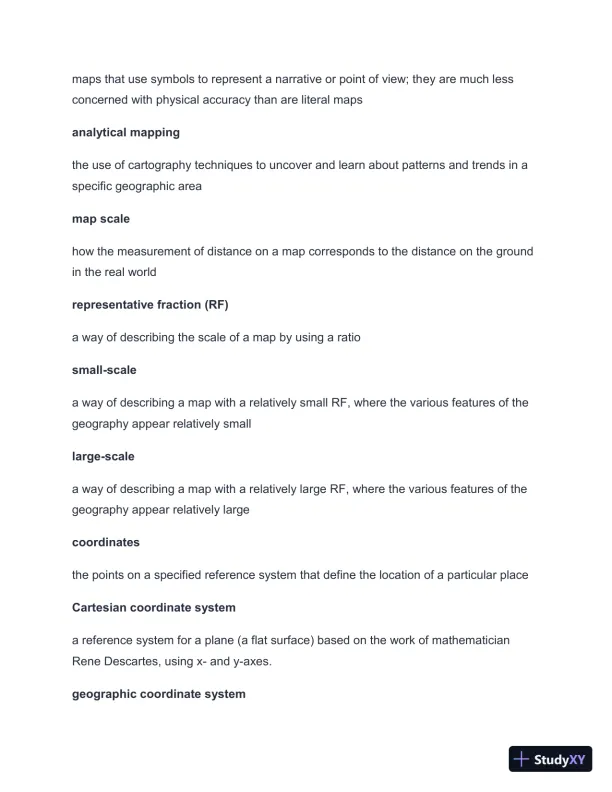
maps that use symbols to represent a narrative or point of view; they are much lessconcerned with physical accuracy than are literal mapsanalytical mappingthe use of cartography techniques to uncover and learn about patterns and trends in aspecific geographic areamap scalehow the measurement of distance on a map corresponds to the distance on the groundin the real worldrepresentative fraction (RF)a way of describing the scale of a map by using a ratiosmall-scalea way of describing a map with a relatively small RF, where the various features of thegeography appear relatively smalllarge-scalea way of describing a map with a relatively large RF, where the various features of thegeography appear relatively largecoordinatesthe points on a specified reference system that define the location of a particular placeCartesian coordinate systema reference system for a plane (a flat surface) based on the work of mathematicianRene Descartes, using x-and y-axes.geographic coordinate system

Page 5

2024-2025 WGU D199 Introduction to Physical and Human Geograph with Answers (203 Solved Questions) - Page 5 preview image

Loading page image...

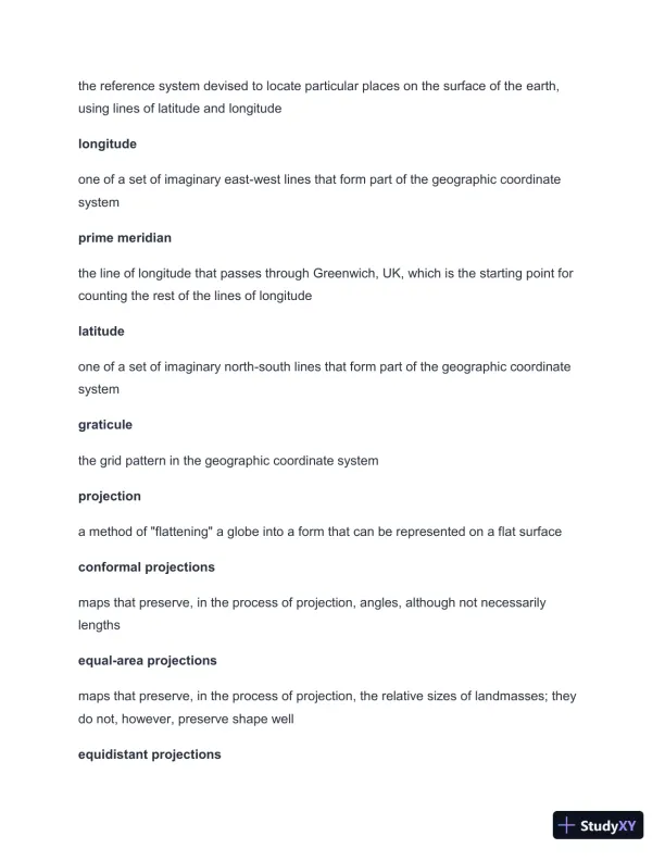
the reference system devised to locate particular places on the surface of theearth,using lines of latitude and longitudelongitudeone of a set of imaginary east-west lines that form part of the geographic coordinatesystemprime meridianthe line of longitude that passes through Greenwich, UK, which is the starting point forcounting the rest of the lines of longitudelatitudeone of a set of imaginary north-south lines that form part of the geographic coordinatesystemgraticulethe gridpattern in the geographic coordinate systemprojectiona method of "flattening" a globe into a form that can be represented on a flat surfaceconformal projectionsmaps that preserve, in the process of projection, angles, although not necessarilylengthsequal-area projectionsmaps that preserve, in the process of projection, the relative sizes of landmasses; theydo not, however, preserve shape wellequidistant projections

Page 6

2024-2025 WGU D199 Introduction to Physical and Human Geograph with Answers (203 Solved Questions) - Page 6 preview image

Loading page image...

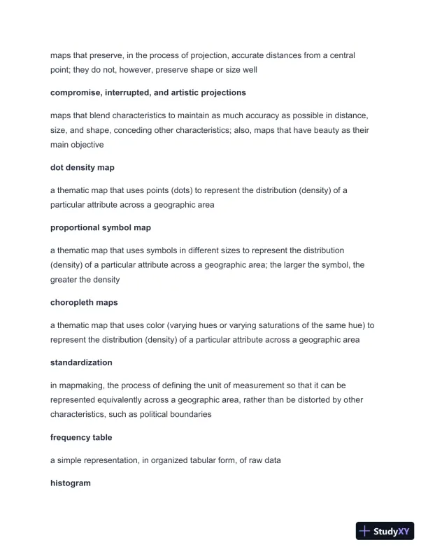
maps that preserve, in the process of projection, accurate distances from a centralpoint; they do not, however, preserve shape or size wellcompromise, interrupted, and artistic projectionsmaps that blend characteristics to maintain as much accuracy as possible in distance,size, and shape, conceding other characteristics; also, maps that have beauty as theirmain objectivedot density mapa thematic map that uses points (dots) to represent the distribution (density) of aparticular attribute across a geographic areaproportional symbol mapa thematic map that uses symbols in different sizes to represent the distribution(density) of a particular attribute across a geographic area; the larger the symbol, thegreater the densitychoropleth mapsa thematic map that uses color (varying hues or varying saturations of the same hue) torepresent the distribution (density) of a particular attribute across a geographic areastandardizationin mapmaking, the process of defining the unit of measurement so that it can berepresented equivalently across a geographic area, rather than be distorted by othercharacteristics, such as political boundariesfrequency tablea simple representation, in organized tabular form, of raw datahistogram

Page 7

2024-2025 WGU D199 Introduction to Physical and Human Geograph with Answers (203 Solved Questions) - Page 7 preview image

Loading page image...

a type of graph that represents a data set visually, using continuous number ranges; it issimilar but not identical to a bar chart (which may not use continuous ranges)frequency polygona type of line graph derived from plotting the points of a histogram's "bins" andconnecting themshapethe visual contour of a frequency polygon or a smoothed-out form of it, using curvescenterthe midpoint of a shapespreadthe extent to which the shape continues to either side of the center: symmetrically,skewed-left, or skewed-rightdensity curvesfrequency polygons that have been rounded into a continuous curve or curves ratherthan being shown as a series of connected pointscategorical variablestypes of data organizations accomplished via qualitative labels rather than numericalvaluesbar graphtype of visual representation of data organized into vertical rectangles, or bars, shownon a plane defined by an x-axis and a y-axispie chart

Page 8

2024-2025 WGU D199 Introduction to Physical and Human Geograph with Answers (203 Solved Questions) - Page 8 preview image

Loading page image...

type of visual representation of data organized by percentages of the whole, shown as"slices" of "pie"univariatedataa set of data that concerns one variabledot plottype of visual representation of data organized into a series of dots shown on axesbivariate dataa set of data that concerns the relationships between two variablesscatterplottype of visual representation of data where points are plotted on a plane defined by anx-axis and a y-axisdirectionthe overall trend of the data, usually either positive (slanting up) or negative (slantingdown)positive linear associationas regards abivariate data set, a description of the relationship of two data points setsin which an increase in one causes an increase in the othernegative linear associationas regards a bivariate data set, a description of the relationship of two data points setsin which an increase in one causes a decrease in the otherstrength
Preview Mode

This document has 26 pages. Sign in to access the full document!

Study Now!

XY-Copilot AI
Unlimited Access
Secure Payment
Instant Access
24/7 Support
Document Chat

Document Details

Related Documents

View all